· Madrid Resorts · Madrid Rio · 2 min read
From Madrid Río to Casa de Campo on foot or by bike: the complete green route
The longest green connection in Madrid: from Manzanares to Casa de Campo without leaving the green. Distances, bike rental and how to adapt the route to your level.
One of the great joys of Madrid Río is that it does not end in the park: following the riverbed of the Manzanares you can arrive at Casa de Campo, the 1,700-hectare green lung of Madrid, almost without stepping on urban asphalt.
The route
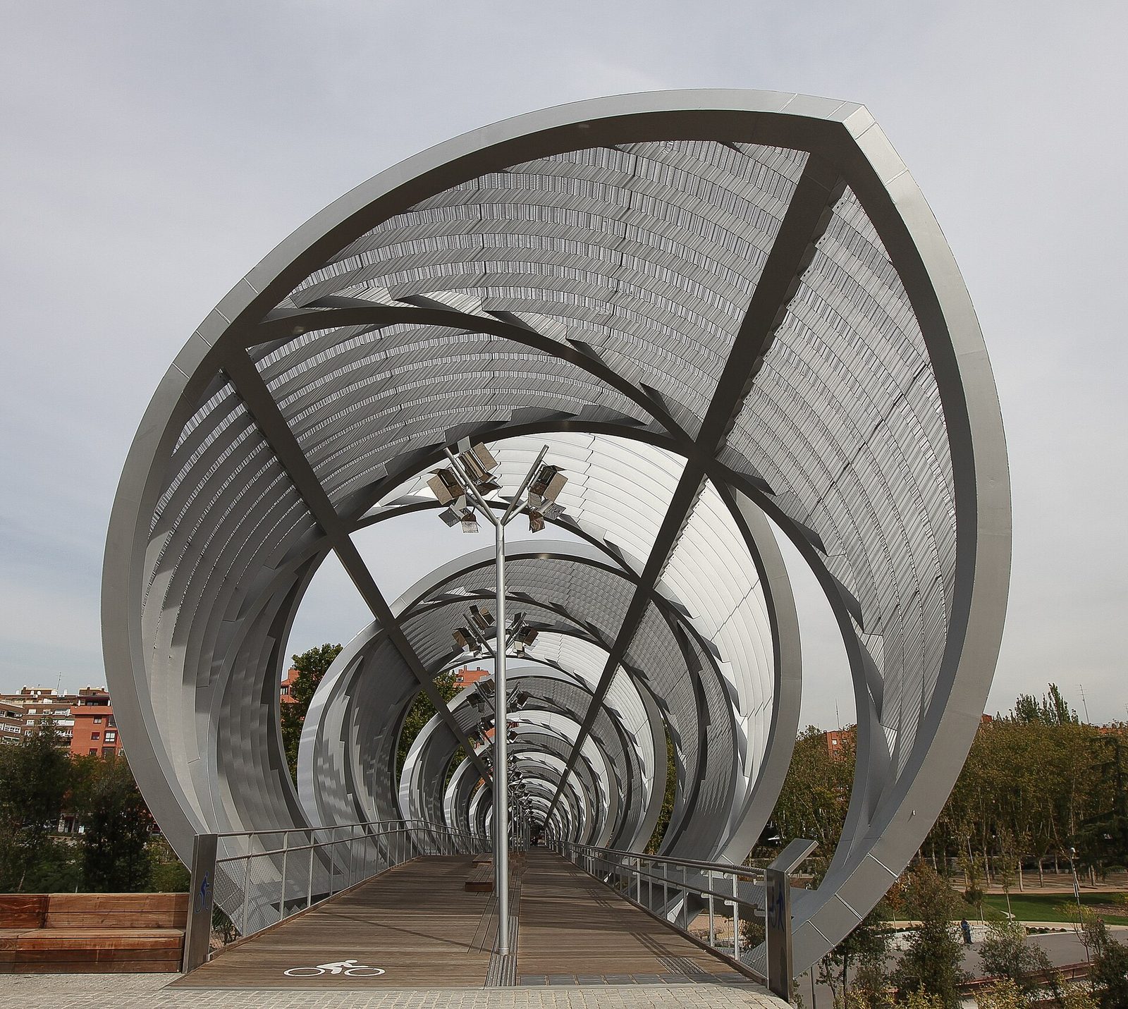
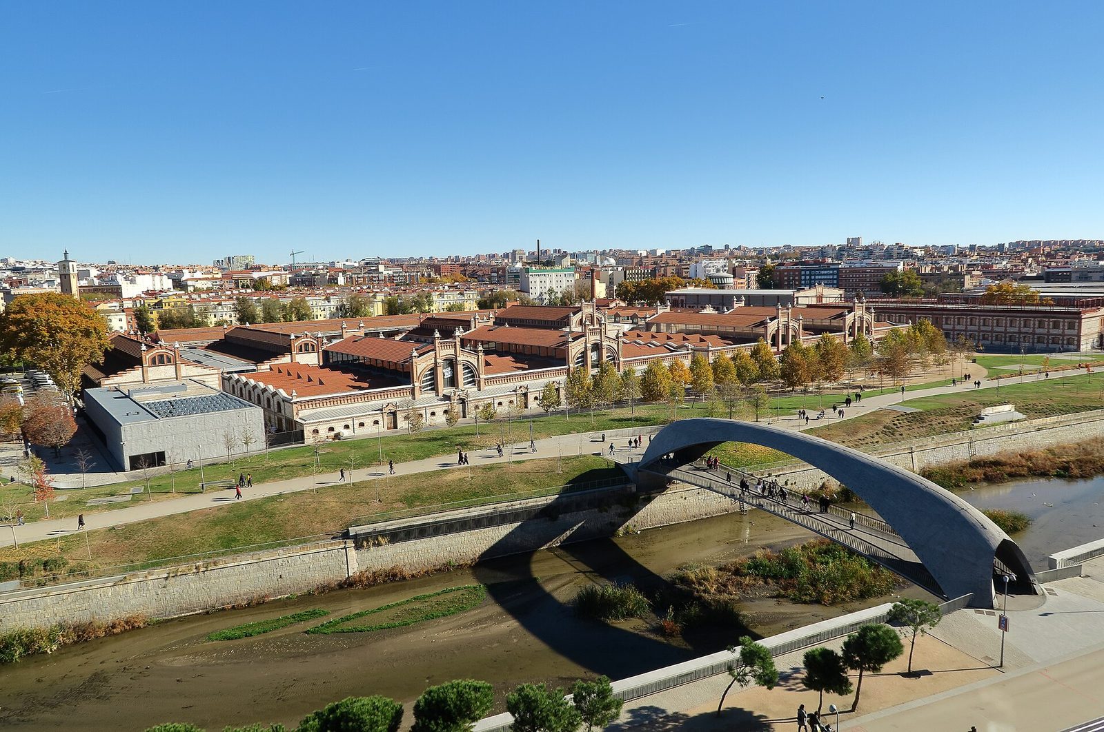
- Recommended starting point: the Arganzuela Bridge or the Matadero, the end of the park closest to Usera.
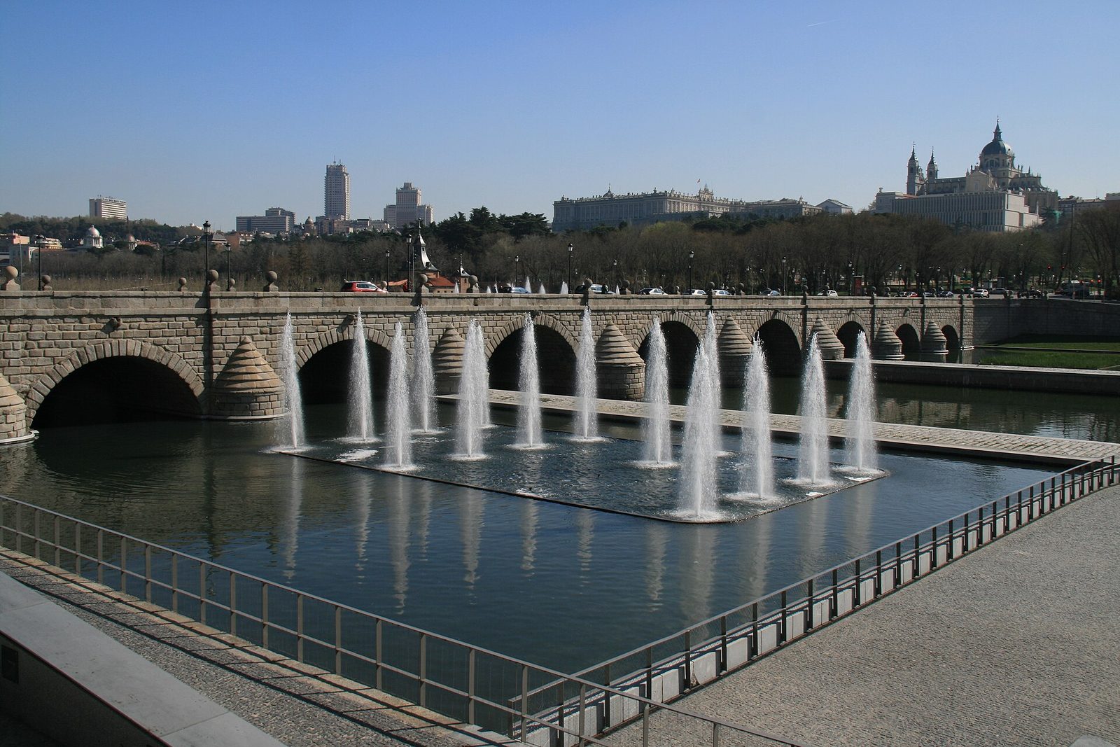
- Northern direction: the lane and the park’s walks continue upstream passing under the historic bridges to the Puente del Rey, where you connect with the accesses to the Casa de Campo.
- Distance: from the Matadero to the entrance to the Casa de Campo there are about 5–6 km along the riverside; flat and suitable for anyone.
On foot or by bike
- Walking: perfect as a morning walk; You can return by metro (Príncipe Pío, lines 6 and 10) if it takes a long time.
- By bike: there are BiciMAD points (the public electric bike service) distributed throughout the area; The continuous lane makes it the most comfortable urban cycling route in Madrid.
- With children: short section Matadero–Puente de Segovia and return, with stops at the playgrounds.
What awaits you at Casa de Campo
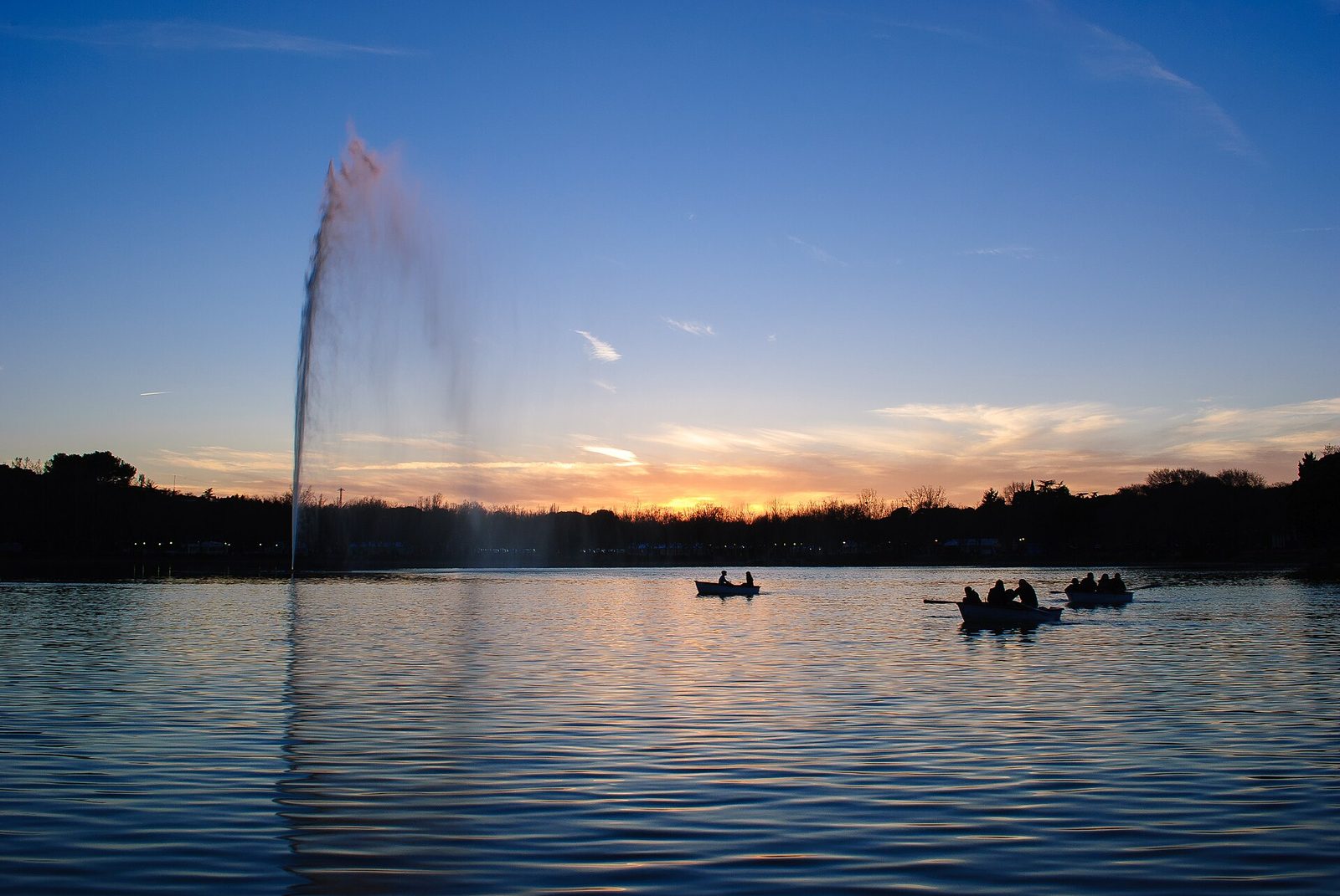
The lake with its boats and terraces, thousands of pine trees, walking paths and the impossible feeling of being in the countryside while being inside the city. The perfect complement: river on the way, forest on the way back.
The ideal base for this route is Usera: you wake up, have breakfast in the neighborhood and in fifteen minutes you are on Manzanares. Here you have our accommodations next to Madrid Río, and the complete park guide to plan the rest of the day.
Cover photo: Kus Cámara from Madrid, Spain, CC BY 2.0, via Wikimedia Commons.
- madrid-rio
- bike
- country-house